On Monday, there was a low-pressure area over the Norwegian Sea. It brought rain to many places. In the northern mountains, it snowed. Around the White Sea in Russia, white flakes were also seen.
Estonia was under a warm air mass. It extended over Western Russia and the Baltic states. Clouds moved southward toward the Mediterranean. In southwestern Europe, there was sunshine due to high pressure.
Near Iceland was the former tropical cyclone Melissa. Its moisture spread over the British Isles and the North Sea. Rain clouds moved northeast from Estonia. A high-pressure ridge came from the south over the Baltic states. There wasn't much precipitation, but fog was present in several places.
In Western Europe, the low-pressure area had a stronger impact. The wind became strong, and rain clouds moved from west to east. Some of the moisture came from cyclone Melissa.
In Estonia, there is occasional rain at night. After midnight, it is often dry. Fog is present in several places. The wind blows from the west and southwest at 1-7 m/s, up to 9 m/s on the coast. The air temperature is 4–9 degrees.
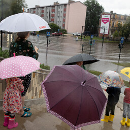
Tuesday morning is cloudy. In some places, there is light rain, and fog persists. The wind blows from the southwest at 2-8 m/s, up to 11 m/s on the coast. It is warm at 5–10 degrees.
During the day, the weather becomes cloudy with spreading rain. The wind strengthens from the southwest and south at 4-10 m/s, up to 14 m/s on the coast. The air temperature is 7–12 degrees.
On Wednesday night, there is little rain. At night, it is warm at 6–11 degrees, during the day 9–12 degrees. Thursday is similarly warm and rainy.
On Friday and Saturday, there are few rain clouds. If the night is clear, it is colder. During the day, the temperature rises to about 10 degrees.